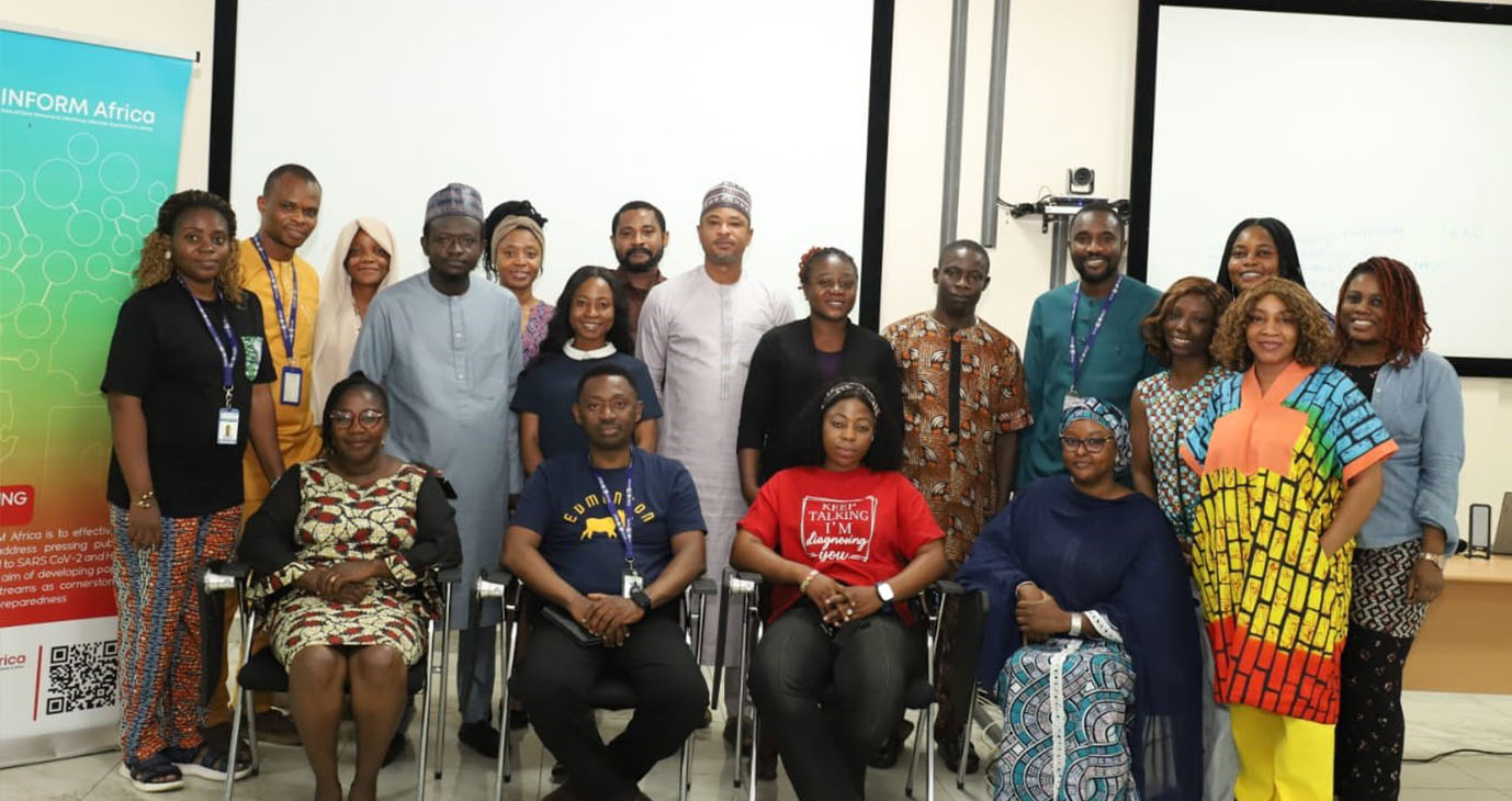
From October 27th to 31st, 2025, the INFORM Africa research hub hosted a five-day R programming training for 14 trainees from the FMOH, NACA, NCDC, NPHCDA, and NEMA. The training aimed to enhance the capacity of Nigerian government agencies in data handling, analysis, and visualisation using R and RStudio. Participants engaged in practical exercises that allowed them to explore the entire analytical workflow, from data import to visualisation and reporting.
Dr. Sophia Osawe, the manager of the INFORM Africa Hub, welcomed the participants and outlined the training’s goals and expected outcomes. Dr. Osawe emphasised the Hub’s ambition to build capacity and transfer skills to its partners. The five-day training was facilitated by competent data scientists from the INFORM Africa Admin core, including Mr. Kazeem Ayodeji, Dr. Kenneth Enwerem, Mrs Victoria Etuk, and Mr. Oyewole Oyedele.
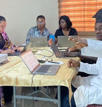
Some key highlights of the training included an introduction and hands-on session on data wrangling and descriptive analysis using R, understanding Chi-square tests, correlation analysis, and t-tests, equipping trainees with a solid foundation in hypothesis testing and data relationship analysis. Daily sessions concluded with practical tasks demonstrating the applicability of skills within a real-life work-related context.
Participants were also introduced to spatial data concepts, including spatial mapping and coordinate systems. Hands-on exercises allowed participants to apply inferential and spatial analysis techniques using real datasets. Prof. Lanre Lawal, one of INFORM Africa’s pilot project leads, provided additional guidance on working with geospatial data. He also reiterated the significance of data science in advancing research impact.
A post-training assessment was conducted to evaluate knowledge gained during the program. Participants demonstrated practical competence in statistical analysis and spatial data visualisation, further strengthening their analytical proficiency in R. They also showed competency in linking demographic or health data to specific geographic locations and used the tmap package to visualise spatial patterns, including creating thematic maps that display variable distributions across regions. Trainees left the training with a strong sense of competence, having acquired the foundational competence for advanced spatial epidemiology and geospatial analysis in public health research. The cohort is currently working on a manuscript using data from PRI at LGA levels, 2024 Flood risk at LGA levels, and confirmed/suspected Cholera cases per LGA in 2024.
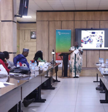
The workshop concluded with remarks by Dr. Evaezi Okpokoro, the IRCE coordinator, on behalf of the contact principal investigator of INFORM Africa, Prof Alsh’le Abimiku